1
/
of
1
The Great Republic
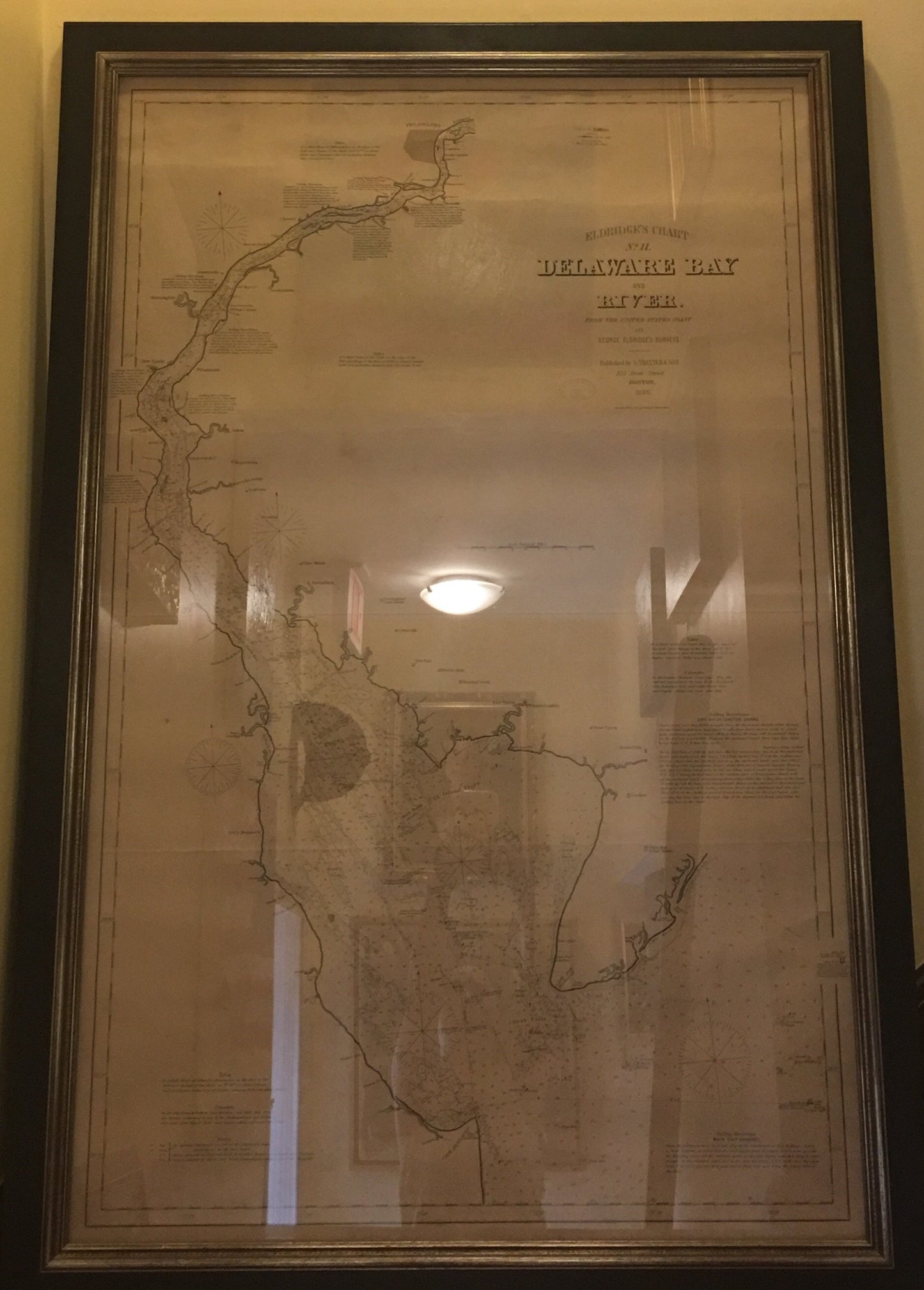
1889 Map of the Delaware Bay
1889 Map of the Delaware Bay
Regular price
$3,500.00 USD
Regular price
Sale price
$3,500.00 USD
Unit price
/
per
Couldn't load pickup availability
This is the large-scale, George Eldridge sea chart map that shows the Delaware Bay from its mouth up to just north of Philadelphia. Backed onto linen - the chart map is dense with hydrographical information, including soundings, shoals, lighthouses, buoys, compass roses, shoals, sailing...
30.6 x 47.2"
Share


